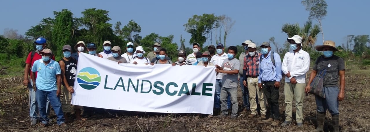
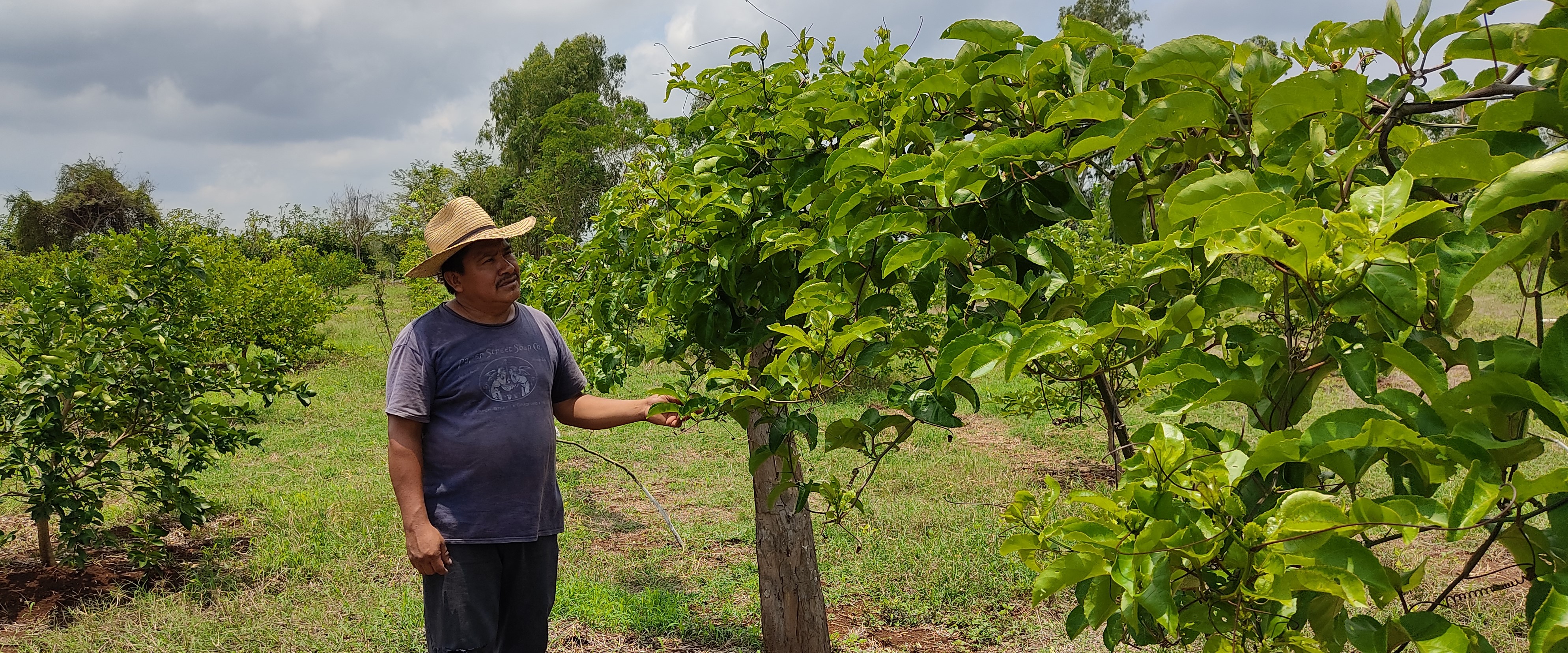
The LandScale pilot landscape in Guatemala, called Southwestern Trifinio, is in the country’s southwest region. It includes the municipalities of Ocós and La Blanca (Department of San Marcos), Coatepeque (Department of Quetzaltenango), and Champerico and Retalhuleu (Department of Retalhuleu), which are found in the middle to lower water basins of Ocosito, Naranjo, and Suchiate rivers. The pilot landscape covers 1,707 km2, equivalent to 170,750 hectares.
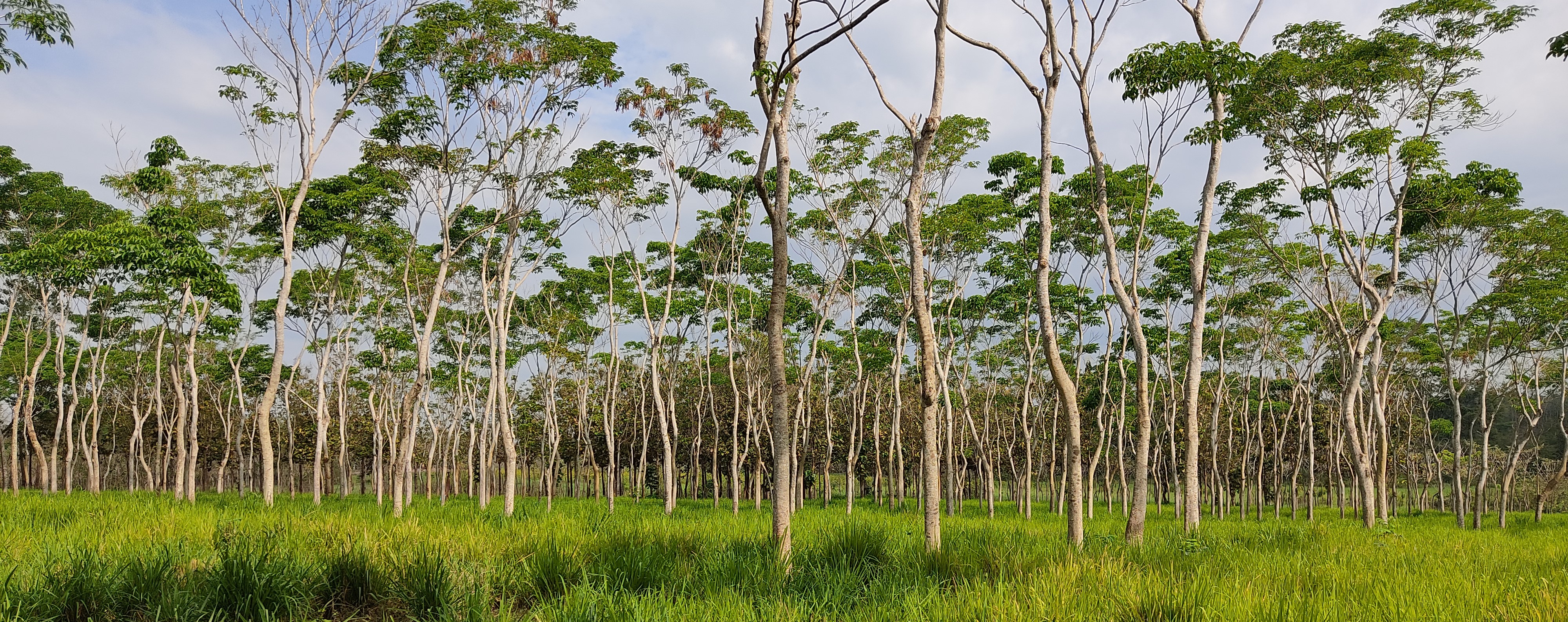
According to the 2010 map of current land use, of the landscape’s total area, 27,370 hectares are used for annual agriculture (basic grains). Of that, 12,365 hectares are land for banana/plantain production, 12,406 hectares are forests, 30,436 hectares are used for sugarcane production, 7,460 hectares for rubber production, 7,178 hectares for palm oil, and 41,190 hectares are grasslands. Predominant crops are sugarcane and bananas/plantains.
When considering farming and production activities (which cover 90% of the territory), only 9% of the territory included in the pilot is covered by forests. The forest category has the highest land cover in the mangrove ecosystem (in the Pacific Coast) and the broadleaf forests located at the foothills of the volcanic mountain range.
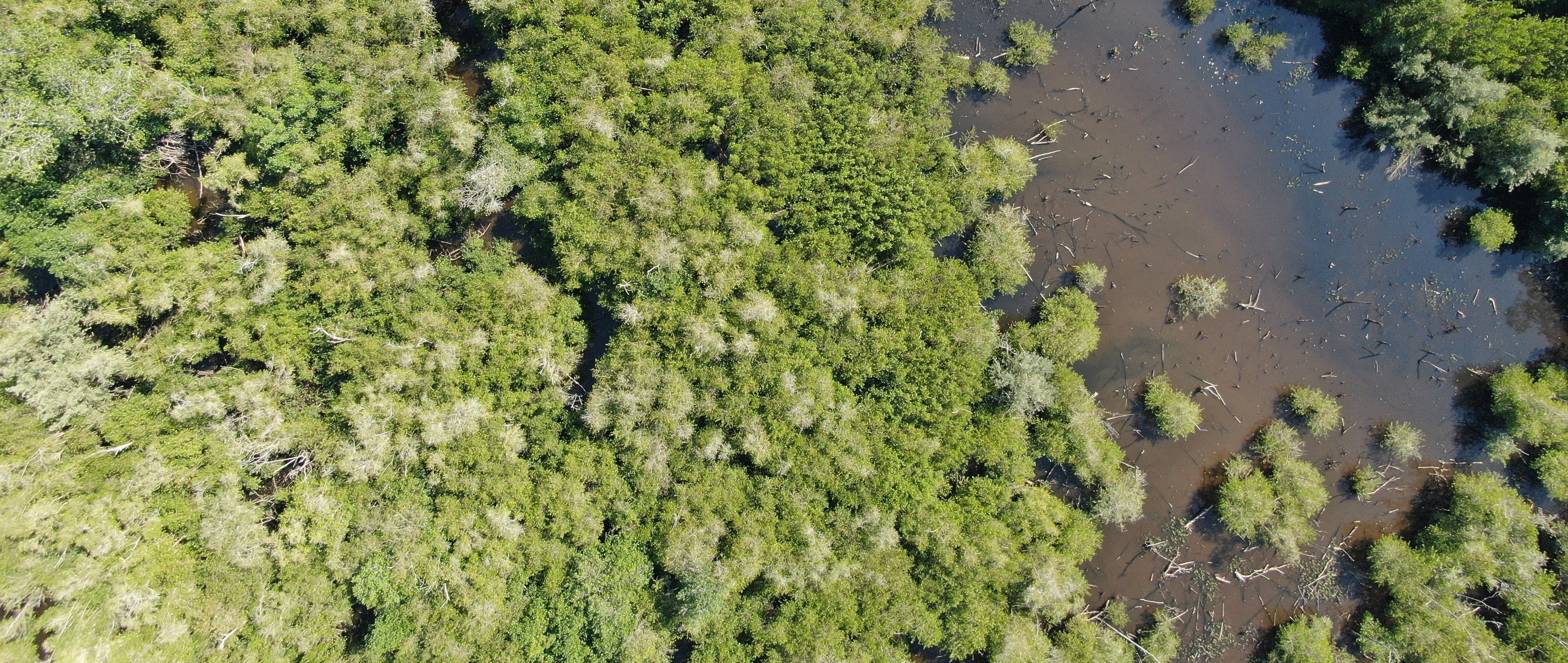
Manchón Guamuchal is the largest coastal-marine wetland on the Pacific Coast of Guatemala. It has a combination of different plant communities, including coastal dune flora, dry forest, mangrove forest, palm forest, aquatic macrophytes, willow forest, fresh and saltwater lagoons, swamp areas, freshwater wetlands, and areas with secondary vegetation.
The wetland provides cultural goods such as reedbeds, edible plants and fish, and mangrove products. The region’s inhabitants have learned to take advantage of the natural resources throughout their long history in the area. People living along the coast know about the “sweet pampa” and take advantage of vegetable and animal species found in its habitat. This is a privileged location for collection, hunting, and fishing, as it allows rural workers to complement their agricultural production with edible native flora and fauna. In addition, the area is a site for scientific research.
See
More
The LandScale pilot landscape in Guatemala, called Southwestern Trifinio, is in the country’s southwest region. It includes the municipalities of Ocós and La Blanca (Department of San Marcos), Coatepeque (Department of Quetzaltenango), and Champerico and Retalhuleu (Department of Retalhuleu), which are found in the middle to lower water basins of Ocosito, Naranjo, and Suchiate rivers. The pilot landscape covers 1,707 km2, equivalent to 170,750 hectares.
According to the 2010 map of current land use, of the landscape’s total area, 27,370 hectares are used for annual agriculture (basic grains). Of that, 12,365 hectares are land for banana/plantain production, 12,406 hectares are forests, 30,436 hectares are used for sugarcane production, 7,460 hectares for rubber production, 7,178 hectares for palm oil, and 41,190 hectares are grasslands. Predominant crops are sugarcane and bananas/plantains.
When considering farming and production activities (which cover 90% o
...
See More

