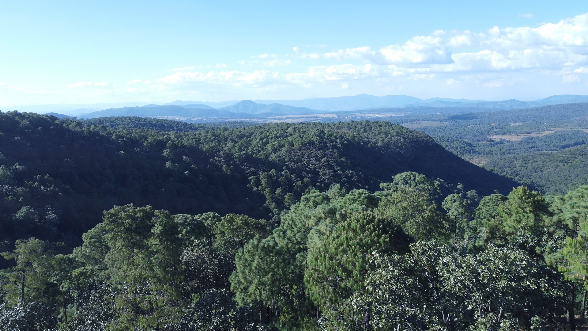
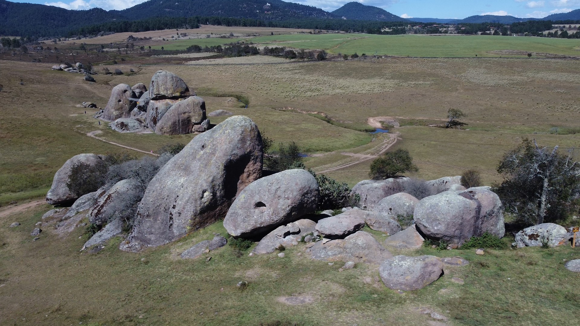
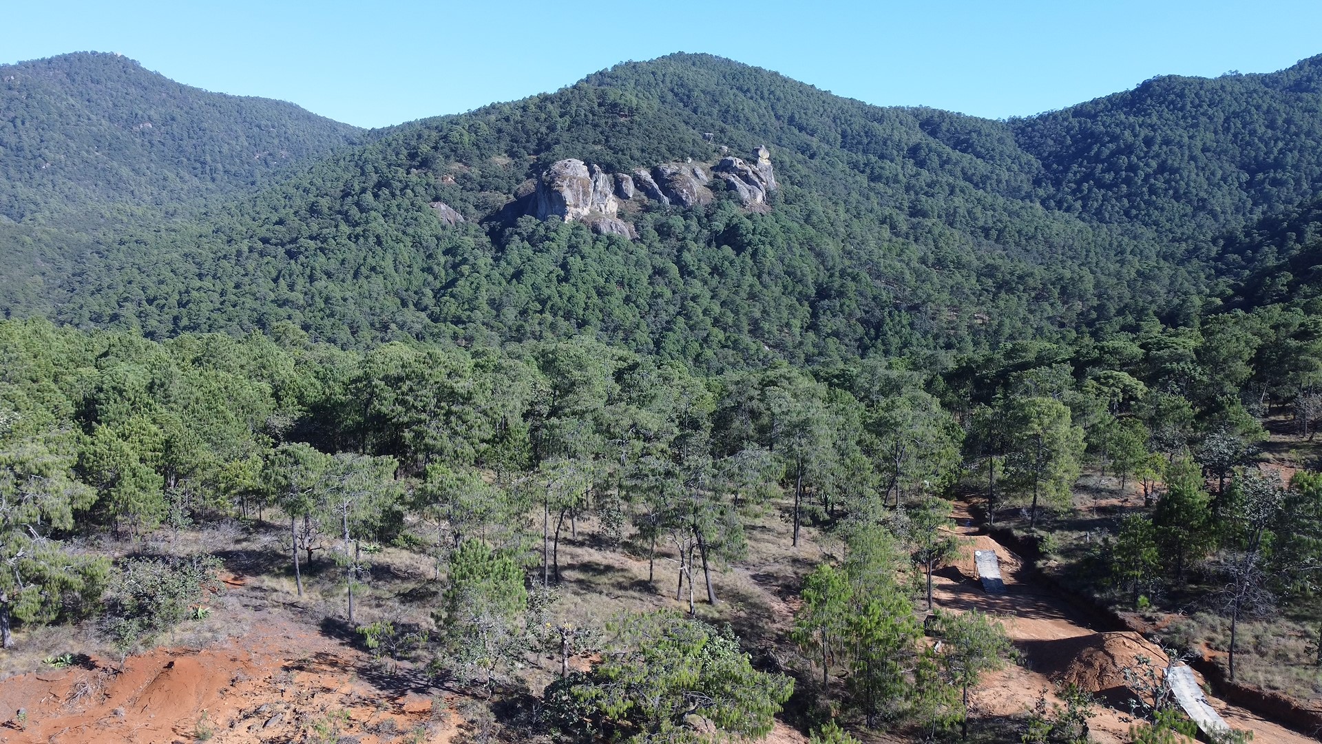
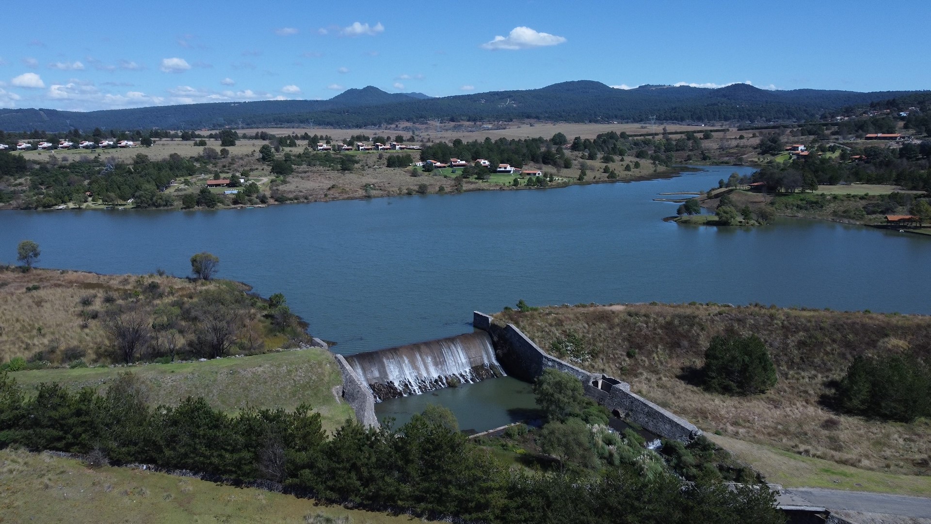
Sierra de Tapalpa
Holistic Assessment Results
The number of metrics that are validated and published will show here for landscapes that are conducting a holistic LandScale assessment.
Landscape Initiative Maturity
These specific criteria support the evaluation of landscape initiative maturity and enable a comprehensive understanding of whether the initiative contains the elements necessary for lasting positive impact and resilience over time.
Landscape Progress Overview
Holistic Assessment Results
Landscape Initiative Maturity
The Landscape
Landscape Boundary
Holistic Assessment Results
Our user-friendly assessment tool and validation service help generate credible landscape-level insights.
By supporting the measurement of trends in ecosystem health, human well-being, governance, and production, LandScale helps organizations deliver and communicate sustainability at scale.
Holistic Assessment Results
The number of metrics that are validated and published will show here for landscapes that are conducting a holistic LandScale assessment.
Landscape Initiative Maturity
These specific criteria support the evaluation of landscape initiative maturity and enable a comprehensive understanding of whether the initiative contains the elements necessary for lasting positive impact and resilience over time.
Sign up to get started below or contact us for more information.
Information
Welcome to the LandScale platform. To use the platform you must register. While you may change your type of registration or role in using the platform, we'd like to know your initial purpose. Please select the most appropriate type of use below. After we gather just a bit of information about you and we verify your email, you'll be guided to the next steps.
Need Help?
LandScale is here to help! If you are experiencing technical problems, need assistance with your assessement or would like to drop a suggestion, why not open an issue via the Help Desk?. You can also check out some of the resources available to you:
The extensive set of guidelines provided detailed instructions and useful tips for each of the five LandScale steps plus several supporting documents and resources. This should be your primary resource for conducting LandScale.
This Google Group for LandScale users is a great way to ask questions, get input, or offer your own experience. The LandScale team also participates in the group.
Cookie Notice
What are cookies?
A cookie is a small amount of data generated by a website and saved by your web browser. When you visit or log into a LandScale Site, we may collect information from you automatically through cookies.
When you visit a LandScale Site, you will receive a one-time cookie pop up consent wherein you are given the opportunity to consent to the use of cookies. Should you decide not to consent to the use of cookies, some functionality and Services related to your use of the site you visit may not work properly.
What do we use cookies for?
We use cookies in a range of ways to improve your experience on the LandScale Sites, including:
- Understanding how you use the site, and
- To make the site easier to use and to better tailor your experience to your interests and needs.
Cookies can also be used to improve the speed of your future activities and sessions on the LandScale Site. We also use cookies to compile anonymous statistics with which we can gain insight into the way people use our sites, so that, for example, the structure and content of our sites can be improved.
What types of cookies do we use?
We use on the LandScale Sites the following types of cookies:
- Technically necessary. These cookies are essential to ensure that our website functions properly. They allow you to navigate through the website and use our functionality.
- Analytics. These cookies help us understand, in the aggregate, how visitors interact with our website by providing information about the pages visited, the time spent on the website, and any problems encountered, such as error messages. This helps us improve website performance. We use Google Analytics to collect analytics information; visitors can opt-out of Google Analytics using the Ads Settings and by using the Google Analytics Opt-out Browser Add-on.
- Functionality. We use functionality cookies to recognize you on our Sites and remember your previously selected preferences. These could include language preferences and the region you are located in.
- Marketing. These cookies are used to display content that is relevant to you. They can be used to deliver targeted advertisements or to limit the number of times you see an ad. They also help us to measure the effectiveness of advertising campaigns on websites. We may use these cookies to remember websites that you have visited and we may share this information with other parties, including advertisers, advertising agencies, or advertising networks.
How can I manage or delete cookies?
Most Internet browsers are set up to automatically accept cookies. You can change the settings on your browser to block cookies or remove cookies from your browser. If you disable the cookies we use, please note that some of our website features may not function as a result.For more information about cookies and how to manage them, visit allaboutcookies.org.
About
LandScale is a collaborative effort to drive improvements at scale by making reliable information about landscape sustainability widely available to decision-makers. To find out more about the initiative, visit https://www.landscale.org/initiative/.
The LandScale platform is the collaborative workspace the teams conducting LandScale assessments use to put together their reports. It is also the best place to browse and find results from assessments across the world. Explore landscapes now at https://platform.landscale.org/explore
To keep up with the latest updates to the LandScale platform, visit https://platform.landscale.org/landscaleplatform . If you have any questions for the LandScale team, browse our Help Center or contact us using the form below.